Tuesday, March 3rd, 2026
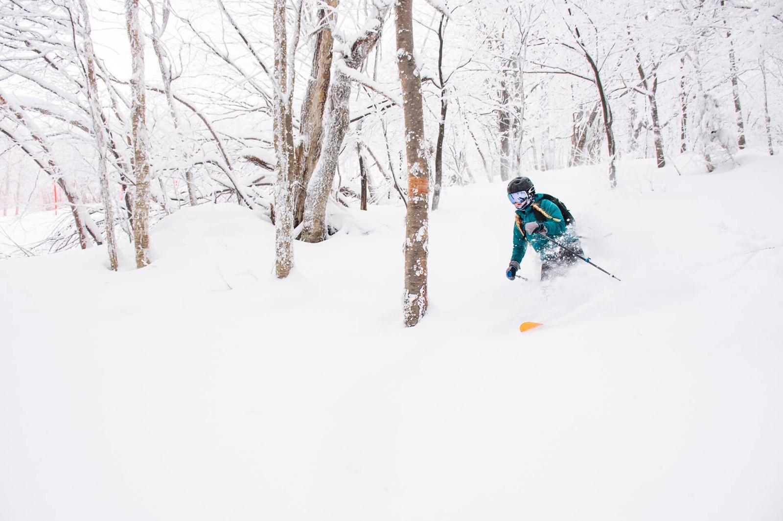
They say March is often the snowiest month for New England ski resorts.
That’s the way it used to be anyway.
Not the last few years, though.
So far there’s been more snow this month from Massachusetts to Maryland.
But the month is young and we have a long way to go.
Apparently Ullr is also on vacation this week, along with our friends visiting from Quebec.
As of this writing midday Tuesday, we’re watching a system that generated 2 to 3 inches of snow over the Mid-Atlantic on Monday moving north into New England this afternoon. But once again, the jet stream is just a little too far south to bring us the goods here at Jay Peak.
It’s been cold enough, and I’ve heard our groomers could not be in better shape right now. So we have that going for us. The northern edge of this system may reach up here Tuesday night with some minor Wednesday morning freshies.
There’s not much wind either, so we’ve got that going for us too. The strong high pressure system that brought the cold air has moved away. Now we have a couple of stationary boundaries, one to the north with Arctic air bottled up in Canada, and another well to the south with waves of energy rippling along from Long Island to Cape Cod.
And here we are in the middle. Without much of a pressure gradient, it’s not too windy, not too cold, not too warm.
We’re trying to squeeze out 2 to 3 centimeters of snow for Wednesday morning. It’s hard to sugarcoat the weather story. There’s not much snow in the forecast for the next few days. Any early snowflakes will likely taper off, with plenty of clouds and maybe a bit of sun breaking through Wednesday afternoon. Temperatures will be near 32 degrees.
A small high pressure system noses down from Canada Thursday morning, cooling us back to about 20 degrees early with some sunshine to start the day. Clouds thicken again with a few snowflakes possible Thursday night into early Friday. Maybe another inch or two. Take the under.
Not much change Friday. Cold air remains bottled up in Canada, warmth stays to our south, so we’ll hover near freezing with mostly cloudy skies and still not much wind.
Later Friday we see more appreciable precipitation approaching. However, low pressure is expected to track north of Montreal, putting us on the warmer side of the system. That means a potential wintry mix Friday night, with snow, freezing rain, and rain possible by Saturday morning.
The odds of this shifting south do exist. Hope for the best, prepare for the worst. The worst case would be an icy, wet, foggy start Saturday with temperatures in the 30s. It turns windier late in the day and overnight as a weak cold front moves through. Some snow showers are possible with cooler, drier air early Sunday. We should break into sunshine Sunday with highs in the mid 30s. At this point, that looks like the pick of the weekend.
Next week the jet stream lifts mostly across Canada, bringing quieter and milder weather possible Monday into Tuesday before another cold front tries to press south Tuesday night. Now we’re talking a week out, but at that point it looks like a more snowy pattern may return by midweek.
This feels similar to last winter, when we were cold and snowy into early March before the pattern shifted. But winter came back. We’re expecting something similar this year. There’s still a long way to go.
Any homage to Ullr would probably be helpful at this point.
We’ll talk again Friday.
TK