Wednesday April 22nd, 2026
Hot out of the gate in November ~ Blasting through the finish line in May!
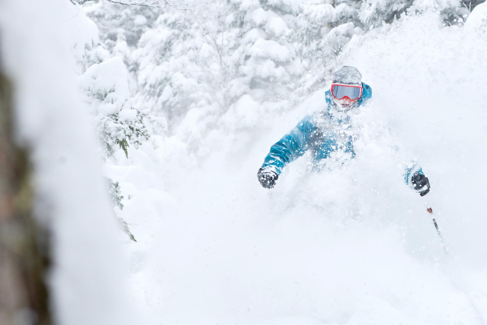
We thought last winter was great. This winter was historic!
Our already mountain wide quality base ~ a couple feet of dense snow ~ with powder on top ~ on opening day - before Thanksgiving!
Each of those stats are historic.
Then more snow just kept coming and coming. It looked like we'd never see an end to the accumulating snow. Sure there were a couple of mixed batches in there when the precipitation started as snow, changed to a mix, then changed back to snow. But we never went more than a day or two without a refreshing a few inches, or a couple feet of snow, over and over.
Before we knew it, we were past 100 inches for the season and going strong.
Meteorologically, from the opening bell we had a pretty consistent North Atlantic block, with a series of systems coming in and stalling nearby. And finally for a change, a Christmas to New Year’s break with no big meltdown or rain storm. That too was rather historic.
It looked like the snow would never end. But during midwinter we lost our Greenland block. The jet stream dipped south. Then it started snowing more to the south. Those historic blizzards from New York City to Boston. But by that time we were already making headlines in the ski world, for the most snow at any resort in the lower 48 United States.
Pretty heady stuff.
Then when it looked like the wheels may be coming off the wagon in March, the record heat was almost from coast to coast... Winter came back. And before we knew it we were over the 400 inch mark for the season!
Just to add to this season‘s trophy chest. Snow guns were turned on the third week in April. The latest in season significant snow making effort in the history of the resort.
That’s where we are now.
This is the 43rd and final TK post for my 13th season here at Jay Peak Resort.
Now, after being absent for much of the last 10 weeks, guess what’s back?
The North Atlantic Block is back!
Not that there’s a bunch more snow in the forecast. But the fact that the weather systems coming on the West Coast are going to be shunted to our south because of the block, that keeps us on the colder side of the front through the beginning of May.
For this last weekend in April, it looks like we’re mostly dry. There’s an upper level low with some instability and a few spring showers. High elevation flakes mixed with raindrops at the lower elevations through the weekend.
But more often than not it is just dry with a mix of clouds and sunshine, temperatures down near freezing at night and in the 40s to low 50s by day.
Our annual tailgate party on Saturday, April 25 looks great, more sun than clouds with temperatures in a low 50s at the base and negligible wind.
Sunday is not looking too shabby either, a mixture of sun & clouds with maybe a passing April shower that could be a raindrops at the lower elevation, and snowflakes at the top.
We remain mostly storm free to start next week.
Then there are signs that we may have a sizable ocean storm forming and stalling south of New England (surf anyone?). A lot of things could happen there. We could end up mostly cloudy and cool. We could end up with a period of rain.
Or ~ we could end up with a few days of snow ~ to open up May.
Which do we root for? Ha ha ha ha ha ~ I think I know the answer.
It’s been a historic winter so far, why not keep it going through Mother’s Day!
It seems appropriate to be writing this post on Earth Day 2026.
Much appreciation for the earth and everything around here done Jay Way.
Hopefully, I’ll see you again next season with the next post coming in before opening day around next Thanksgiving.
Can we make it three great winters in a row?
That’s how we’re going to visualize it all summer long anyway.
Thanks for a great season!
Seaya at The Shore.
TK